TLM 50-style 1:50,000
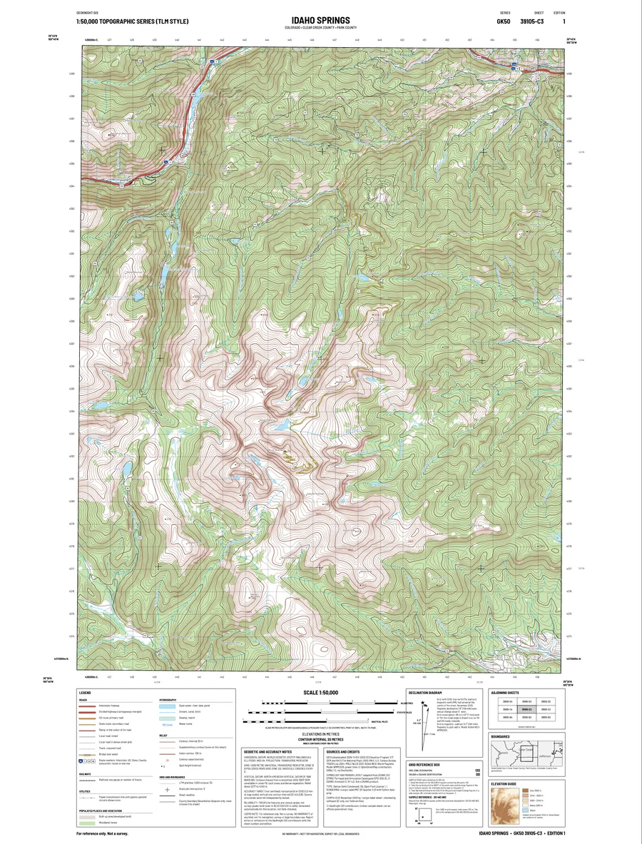
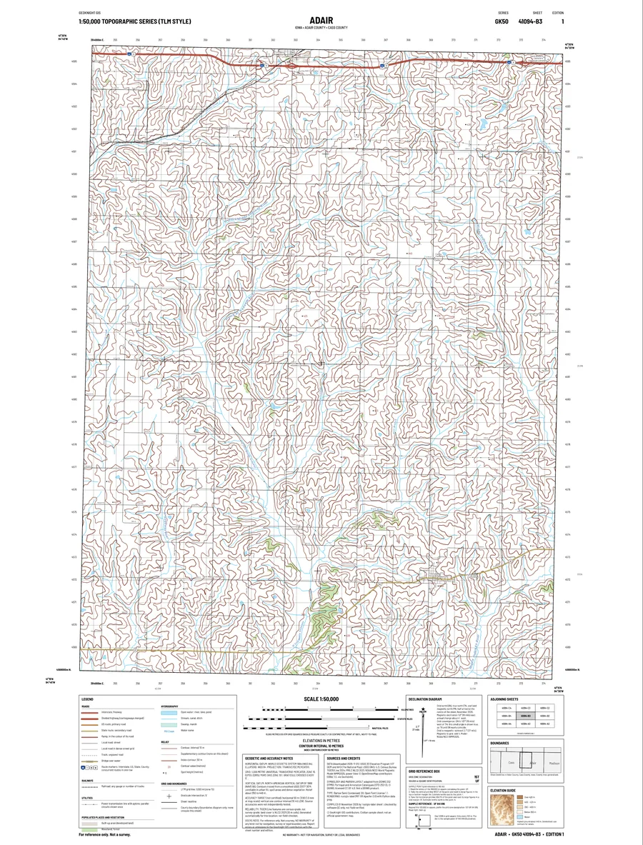
Classic topographic sheet layout: UTM grid, graticule ticks, adjoining-sheet diagram, magnetic declination for the date, elevation guide and full legend.
Featured service · GeoKnight GIS
Pick a point. Get a TLM 50-style 1:50,000 map sheet of that 15′ quad: contours, water, roads, railways, power lines, woodland and hundreds of names, placed automatically and delivered as a print-ready vector PDF.
What it is
Classic topographic sheet layout: UTM grid, graticule ticks, adjoining-sheet diagram, magnetic declination for the date, elevation guide and full legend.
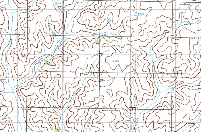
Every line and letter is vector in the PDF and SVG, so it prints sharp at any size. A PNG preview comes with it.
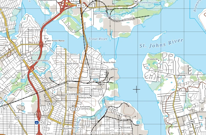
Hundreds of names placed at once with no overlaps: curved along rivers and roads, checked by built-in quality control.
U.S. Census TIGER/Line, USGS 3DEP elevation, NHD and GNIS, MRLC land cover, NOAA magnetic model, plus OpenStreetMap power lines.
Sample sheets
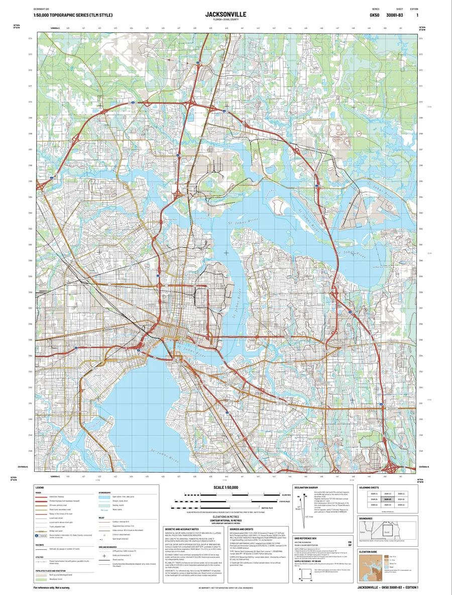
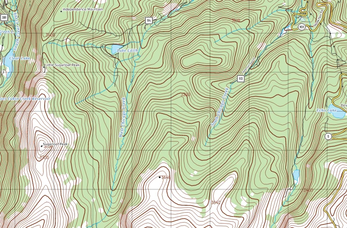
Click a sheet for the full page, or a detail panel to see the map at print scale.
Watch how it works
How it works
Live demo
Click anywhere in the contiguous US, or search for a place. A new area takes a few minutes (data downloads); areas already built return instantly.
No point picked yet. Click the map.
Basemap © OpenStreetMap contributors. Fair use: one sheet at a time; requests are rate-limited.
Open source
The engine is rustgis-label (MIT OR Apache-2.0): Rust label placement and rendering with Python data preparation. Need sheets for your area, a different scale or your own data on the map? Book a call.
Built by GeoKnight GIS with AI coding assistance; designs, data choices and outputs are reviewed by a person.
Credits
Disclaimer: sheets are generated automatically and are not field-checked. For reference only: not for navigation, survey or legal boundaries. No warranty of any kind. Not an official government map.